Infrared Street View
A thermal equivalent of Google Street View — crowdsourced, built to visualize the energy landscapes of our neighborhoods, towns, and cities in the age of climate change
The idea
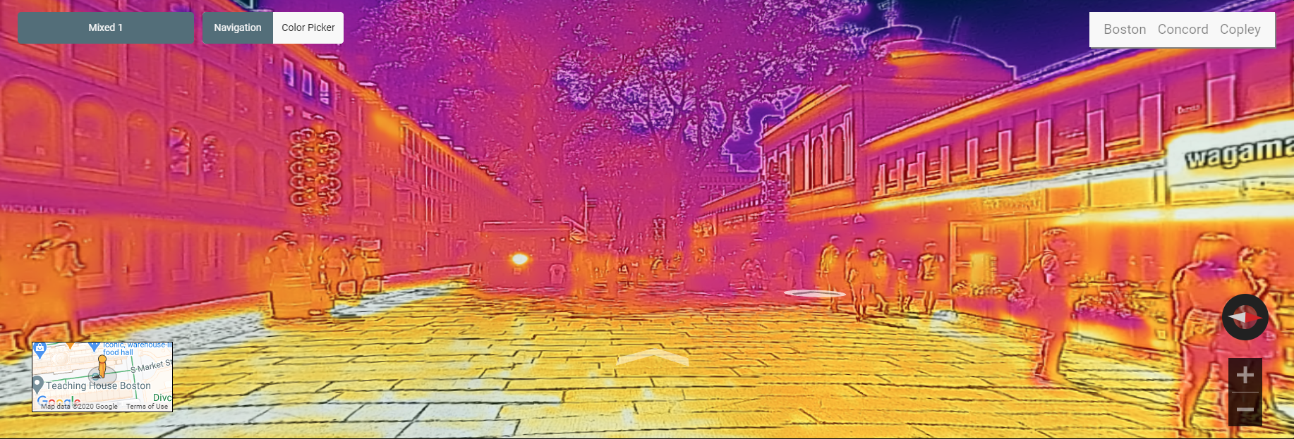
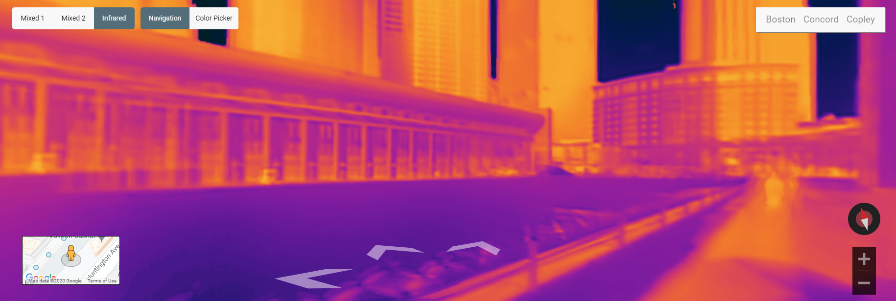
IFI is developing technologies to support a citizen-science program that crowdsources a thermal equivalent of Google Street View. Instead of showing streets in visible light, the Infrared Street View shows them in thermal infrared light — creating pictures of the energy landscapes of our neighborhoods, towns, and cities. The project aims to promote awareness of energy usage and efficiency in the age of climate change.
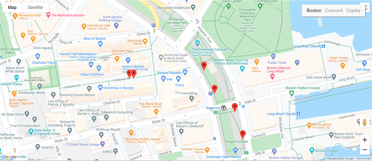
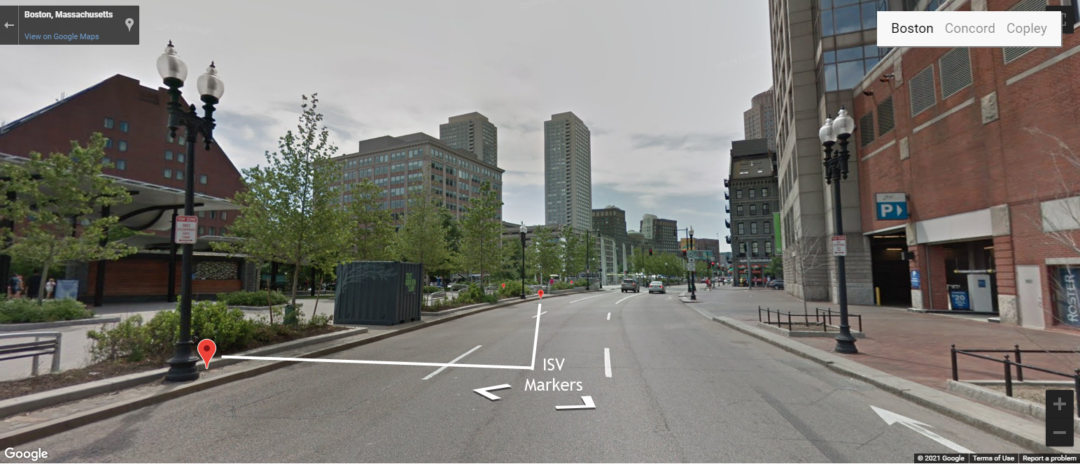
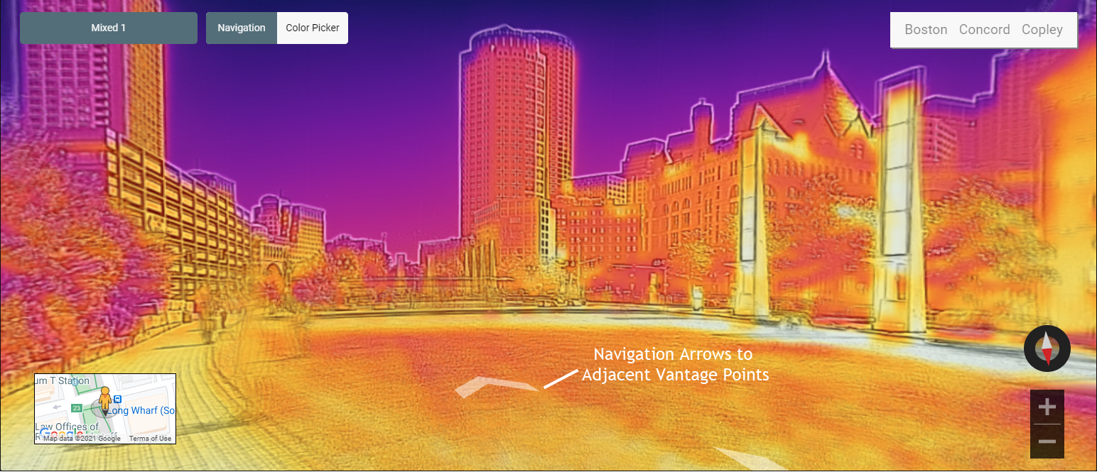
Web-based version
The web version lets users explore the Infrared Street View from any browser.
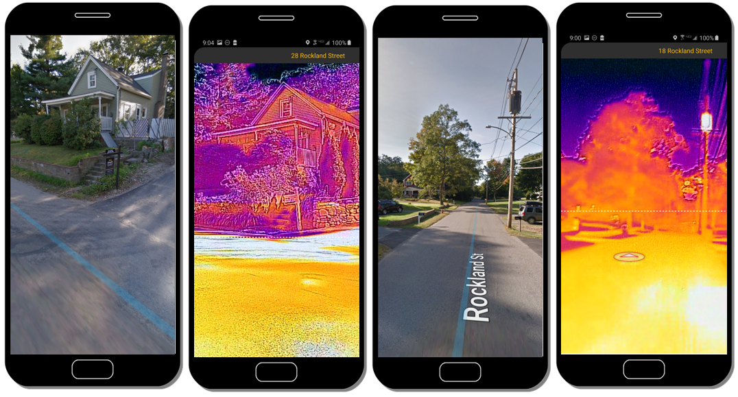
Smartphone version
The smartphone version is implemented differently — designed for on-location capture and viewing.
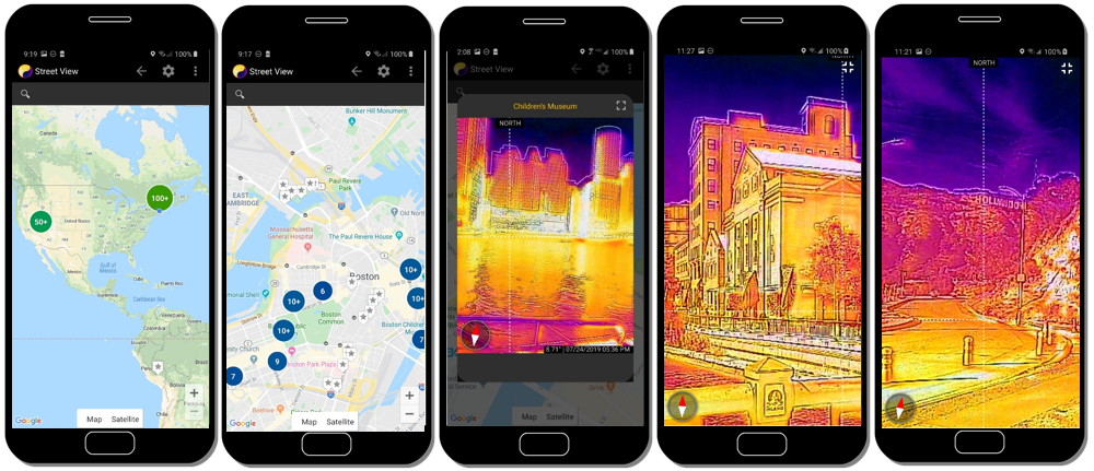
The following images compare Google Street View and Infrared Street View on the phone: